PRESIDENTE FIGUEIREDO
 Dream yourself in a place
with: Forest, rivers, waterfalls and rapids all part of a
magic world reserved by nature just for you.
Presidente
Figueiredo
was born with a natural vocation for tourism. The land of Waterfalls also offers
hiking trails, visit to caves, boat rides on Balbina Lake
and the Hydroelectric Power Station among many options
that include ecotourism and adventure. The Municipal
Center of Presidente Figueiredo was founded in 1981 and
was named after the first president of the province of
Amazonas, João Baptista de Figueiredo Tenreiro Aranha (1798-1861).
Located 107 Km north of Manaus, this piece of Amazon's paradise occupies an area of 24.781 km² distributed among ecological and Indian reserves, mining, an hydroelectric Dam and the exuberant forest where nature was generous to the rivers, "igapós" and the fantastic waterfalls.

Balbina Lake appears after the Hydroelectric Dam was built in the city of Presidente Figueiredo, 180 km from Manaus, on the bank of the Uatumã River, a tributary of the Amazon River. The city of Presidente Figueiredo is situated 60 º west of the Greenwich meridian with altitude of 50m.
Its climate is hot and humid with temperatures between 25º C and 35º C.
The flora is formed by Tropical Forest and there are large extension of predominate accidental land with steep incline and decline, the soil presents sandy characteristics in the most elevated areas and muddy near the stream.
The River Uatumã is known by a lot American people for peacock bass fishing during the month of September to December, but in the Balbina Lake fishing can be done all year round, excellent for those who just started fishing. Visit - The Research Center for Aquatics Projects - Eletronorte (Turtles, Manatees, Spiders), Fish Center - EMATER resettle of the environmental that was affected by the hydroelectric dam and Research Center for Archaeology, rescue Archaeology place before inundation process.
Attraction
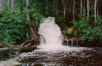
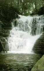
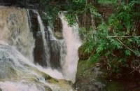
Waterfalls
LAGES - Location: The right side of BR 174, km 113, being 4 waterfalls distributed in 1,500 m in track in the inward of the bush.

PEDRA LASCADA - Location: The right side
of BR 174, km 113, the 1.700 m in track in the inward of
the bush. Inside of the area of lages.
IRACEMA - Location: The left side of
BR 174, km 115, the 400 m in ground branch.
ARARAS - Location: The 1.500 m after the waterfall of Iracema, in track in the inward of the bush. Inside of the area of the Waterfall of Iracema.
SUFRAMA - Location: Located the right margin of BR-174, km 96, the 200 m in track in the inward of the bush.
SANTUÁRIO - Location: Located the right side of highway AM-240, access the Balbina km 12, the 1. 200 m in branch ground in the inward of the bush.

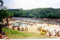
Rapids
URUBUÍ - Location: Left side of BR 174, km 107, the 300 m of the main road.
BARRETO/BALNEÁRIO BARRETO -Location: Located the right side of the highway AM-240, access the Balbina km 65, (Narrow river of the Barreto).
SANTA BÁRBARA - Location: located in km 9 of the branch of the Urubuí, the 300 m. in track in the inward of the bush.
SANTA LÚCIA - Location: Located the left bank of Highway BR-174, km 113, the 50 m in ground track.

PANORAMA - Location: Located the left bank of Highway BR-174, km 109, the 300 m in track in the forest.
BALNEÁRIO ÁGUA VIVA - Location: Located in the right bank of the Highway AM-240, access the Balbina km 12, the 100 meters in track.
UIRAPURU -Location: Located in the left bank of Highway AM-240, access the Balbina km 32, 3 km of land road, and walked in track.
Caves
CAVE SHELTER OF THE MAROAGA - Location: Located in the right bank of highway AM-240, access the Balbina km 6, the 600 m in conserved track.
IRACEMA - Location: Located in the left bank of highway BR-174, km 115, the 4000 m. in branch ground in the inward of the Farm Iracema. Inside of the area of the Waterfall of Iracema.
ARARA - Location: Located the 1500m after the Waterfall of Iracema in track bordering Urubuí River. Inside of the area of the Waterfall of Iracema.